 Skip to content
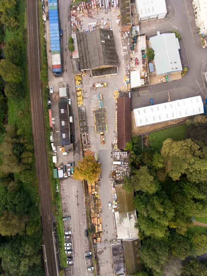
Accurate Drone Surveying & Mapping
Real-Time Kinematic (RTK) is a satellite navigation technique used for obtaining highly accurate positions. When applied to drone mapping and surveying, RTK technology can provide numerous benefits, including: Overall, RTK technology can provide a range … Read more